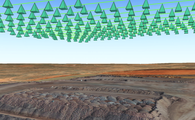
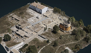
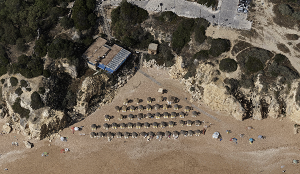
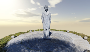
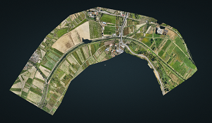
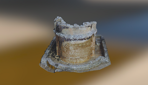
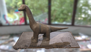
Vertical and oblique photographic images for creating orthophotos (georeferenced photographic maps) and very high resolution 3D digital terrain models (up to 2 cm) that allow the identification of very small objects.
Here you can consult some of our work, namely, vertical and oblique photographic images for making orthophotos (georeferenced photographic maps) and very high resolution 3D digital terrain models (up to 2 cm) that allow the identification of very small objects.
