Aerial Photogrammetry
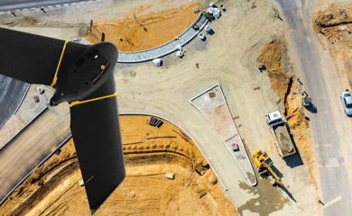
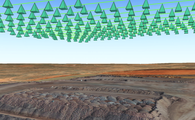
The aerial photography is the taking of aerial images for the preparation of maps. The Geosense has professional equipment to carry out this type of work, including a fixed wing Drone, the Ebee, able to cover areas up to 10 km2 in a single flight, or perform aerial images with 3 cm resolution.


